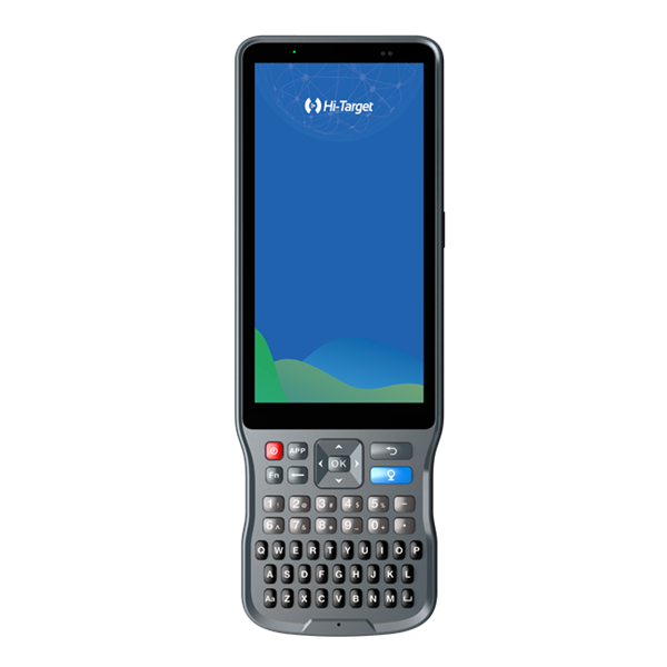
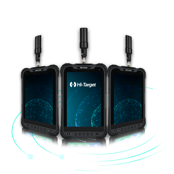
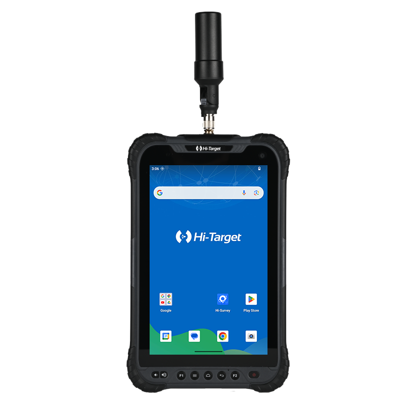


Description
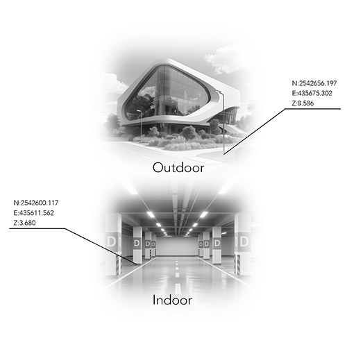
Measure Anywhere, Even Without Signal
One Coordinate System, Zero Hassle
RTK and SLAM fusion ensures real-time positioning with unified output (BLH/NEZ). No control points needed—scan freely, without retracing your steps.
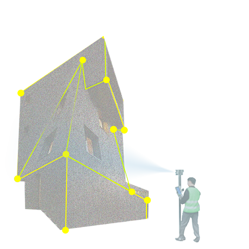
Contactless Measurement, Maximum Efficiency
Get accurate point coordinates by simply snapping a photo. Collect data safely from a distance—perfect for hard-to-reach or hazardous areas.
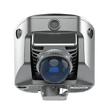
Fast, Accurate Earthwork Volumes
Capture dense 3D point clouds and calculate cut/fill volumes in a few time. Ideal for excavation, stockpile measurement, and site progress tracking.
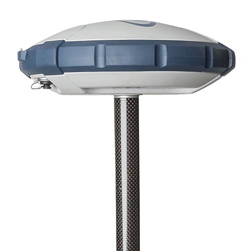
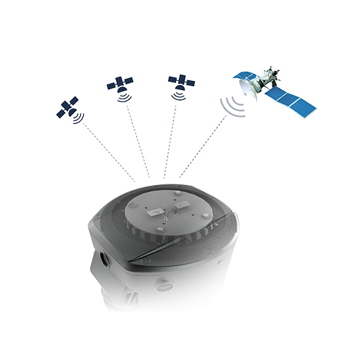
Next-Gen GNSS Engine
1408-channel GNSS SoC chip delivers strong, stable signals with low power use. Adaptive anti-jamming tech ensures centimeter-level results in complex environments.
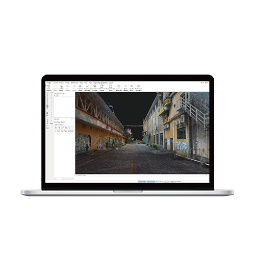
Office Software for Post-processing
Turn field data into precise deliverables. Generate clean point clouds, section drawings, and excavation analysis—all with centimeter-grade precision.
Product Parameters
Channels
Signal tracking
QZSS/NavlC/SBAS/PPP
Laser Scanner Range
0.1~ 70m@80%
Data Storage
Image measurement
5cm Accuracy