Description
Easy field data collection
Short learning curve
Efficient post-processing
Cost effective overall solution
Spectra Geospatial MobileMapper GIS software suite offers a wide range of features that allows
GIS professionals such as farmers, foresters, utility workers, or safety personnel to manage
efficiently georeferenced assets in the field and at the office. It is made of a field application,
MobileMapper Field, for data collection and a free of charge Office software (MobileMapper
Office) for job setup and post processing.
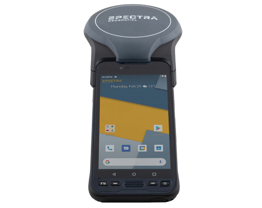
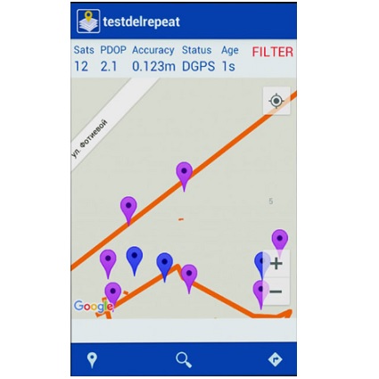
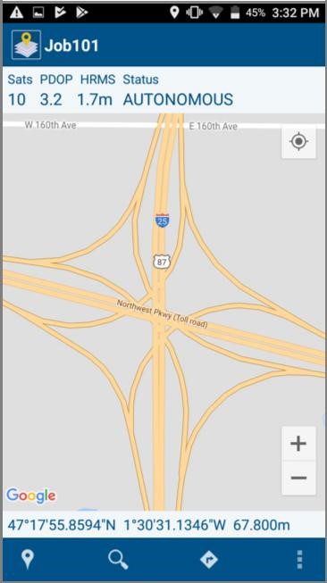
The latest version of MobileMapper Field runs on Android. It is focusing on ease of use and
simplicity with clear and intuitive workflows. With this application you can define categories of
features (i.e. layers) and assign as many types of attributes as necessary to characterize your
assets. MobileMapper Field allows data collection or inspection of points, lines or polygons. It
supports connectivity to Bluetooth enabled devices including cable locators and laser range
finders. This software can display background maps so that users can view the features in the
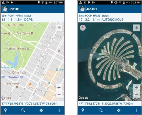
field easily and manage complicated GIS data sets. Furthermore, it can collect GNSS raw data
in the background for post-processing with MobileMapper Office, improving the accuracy of
real time collected position significantly. So even in difficult condition the Spectra Geospatial
GIS software solution associates the best possible position to your GIS data.
Making GIS data collection easy, reliable and affordable
POA