Description
3D Laser Point Cloud Processing Software
Hi-LiDAR
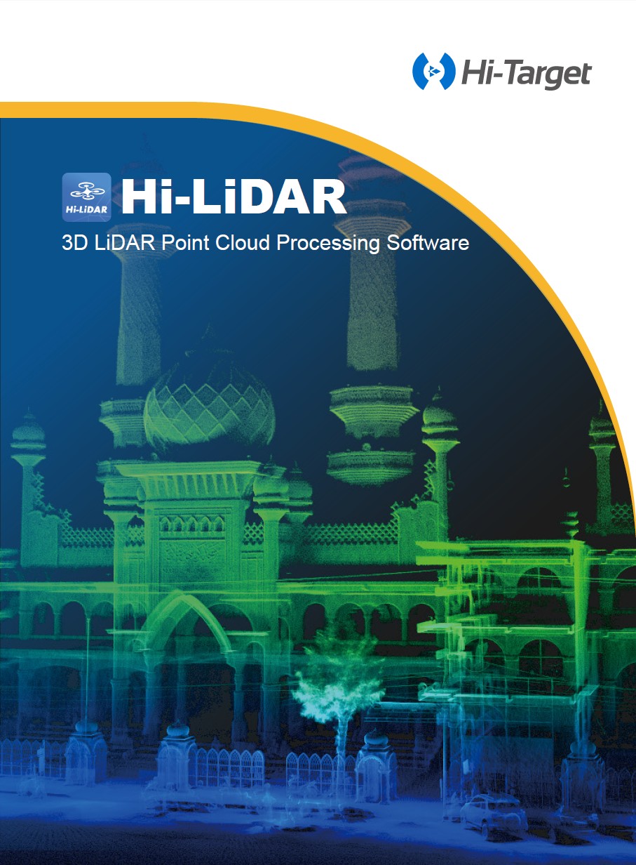
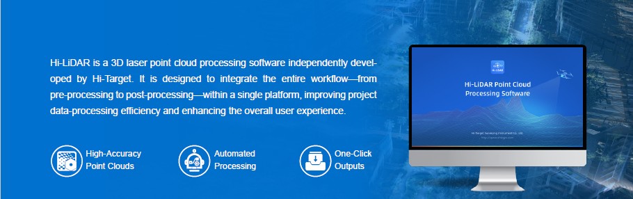
Hi-LiDAR is a 3D laser point cloud processing software independently developed by Hi-Target. It is designed to integrate the entire workflow—from pre-processing to post-processing—within a single platform, improving project data-processing efficiency and enhancing the overall user experience.
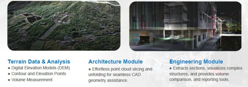
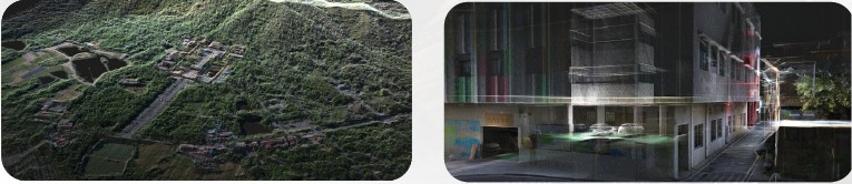
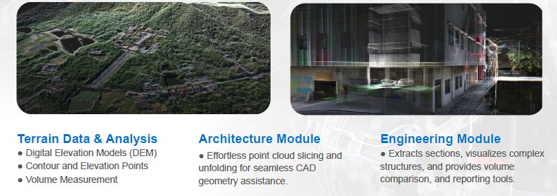
With five powerful modules — Aerial Data Processing, SLAM Data Processing, Terrain Data & Analysis, Architecture Module, and Engineering Module — Hi-LiDAR delivers a unified point cloud processing solution.
With five powerful modules — Aerial Data Processing, SLAM Data Processing, Terrain Data & Analysis, Architecture Module, and Engineering Module — Hi-LiDAR delivers a unified point cloud processing solution.